CALL US
806.590.0010
CALL US
806.590.0010

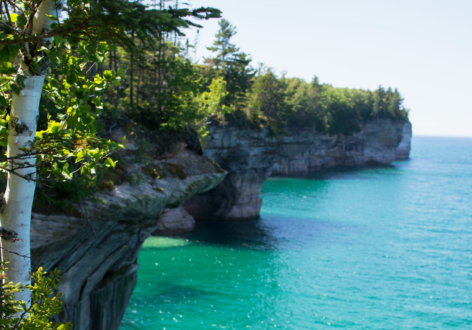
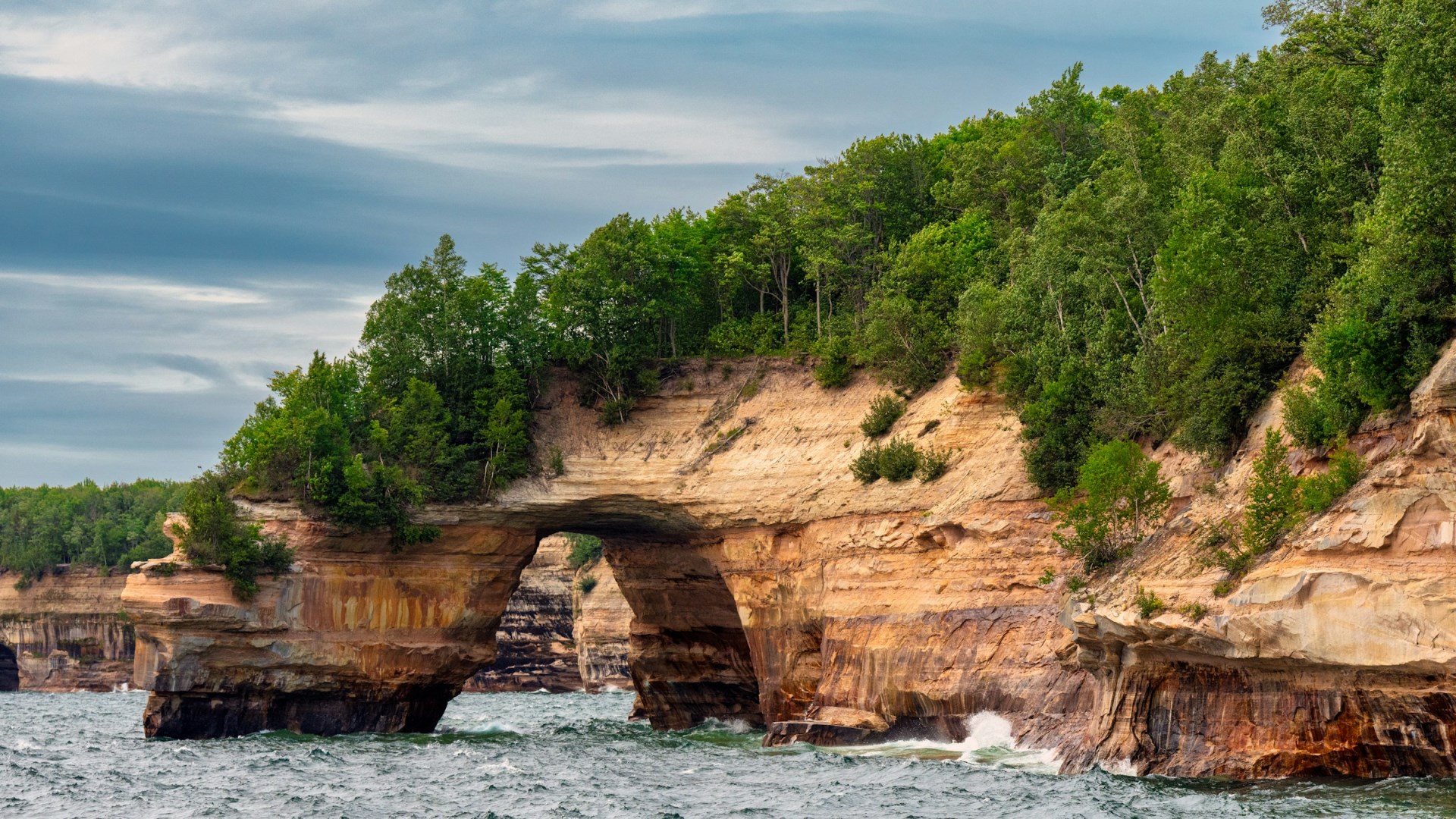
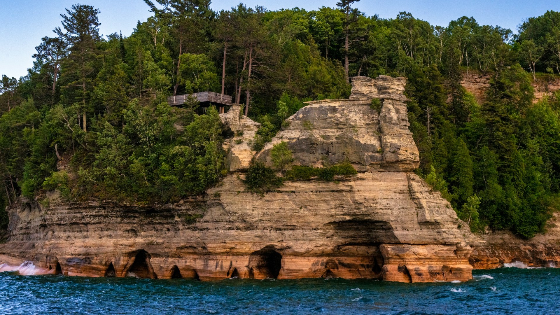
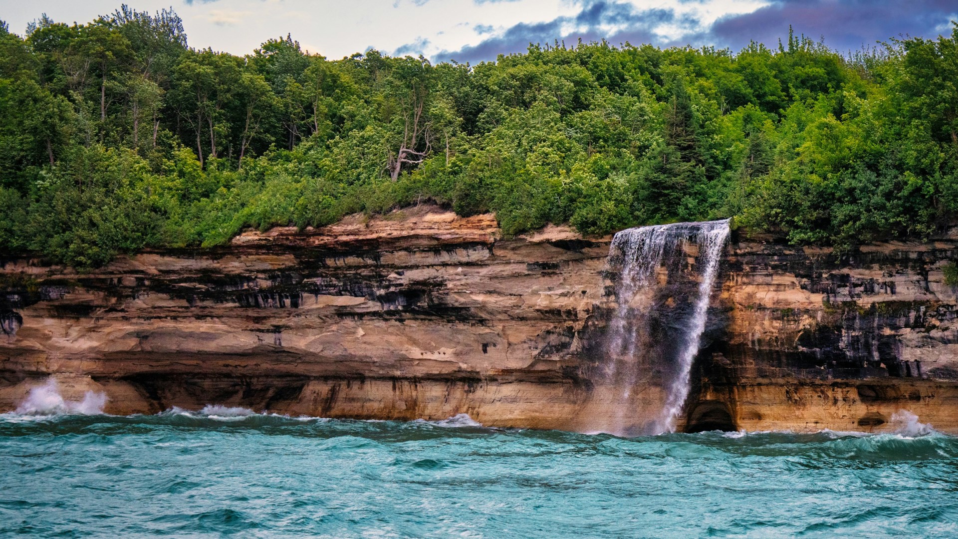
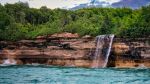
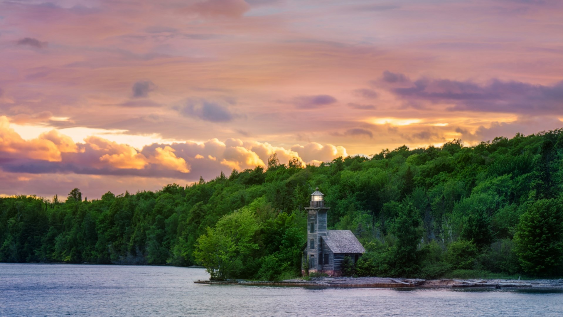
Pictured Rocks National Lakeshore stretches along more than 40 miles of Lake Superior shoreline in Michigan’s Upper Peninsula, between Munising and Grand Marais. It is known for sandstone cliffs, forested hills, beaches, waterfalls, and clear freshwater coves. The shoreline takes its name from the bands of mineral-stained sandstone visible along the cliffs, where iron, copper, and other minerals create natural patterns in the rock. Inland, the lakeshore includes dense northern forests, wetlands, streams, and numerous small lakes. Its combination of cliffs and freshwater landscapes makes it one of the most distinctive protected areas along Lake Superior.
The lakeshore lies within the traditional homelands of Anishinaabe peoples, including the Ojibwe, whose cultural connections to Lake Superior and the surrounding forests remain important today. Indigenous communities used the region for fishing, hunting, gathering, and travel along the lake. Later industries included logging, commercial fishing, and quarrying, traces of which remain in the landscape. Munising and Grand Marais developed as communities connected to these activities and to Great Lakes transportation. The lakeshore also contains historic lighthouses and other structures associated with maritime navigation, including Au Sable Light Station near the eastern end of the protected shoreline.
Several natural landmarks define Pictured Rocks. Miners Castle is a prominent sandstone formation overlooking Lake Superior, while Chapel Falls, Chapel Beach, and Mosquito Beach can be reached by hiking trails through the forest. The North Country National Scenic Trail crosses the lakeshore, providing a long-distance route through wooded terrain and along the cliffs. Boat tours from Munising offer views of the colorful cliffs, sea caves, arches, and beaches from the water, while kayaking provides a closer look at the shoreline in suitable conditions. Inland, Beaver Basin Wilderness preserves a more secluded combination of forest, wetlands, lakes, and coastal terrain.
The region around Pictured Rocks reflects the food traditions of Michigan’s Upper Peninsula, with freshwater fish, pasties, wild berries, maple products, and locally grown produce appearing in nearby communities. Whitefish and lake trout are particularly associated with Lake Superior, while the pasty reflects the mining heritage of the Upper Peninsula and remains a regional specialty. The lakeshore also contains numerous waterfalls, including Bridalveil Falls, which drops directly toward Lake Superior. In winter, snow and ice transform the cliffs and waterfalls, creating a very different landscape. The protected shoreline remains closely tied to the ecology and culture of Lake Superior.